Florida Surveying Services
Surveying Services in Fort Myers, Melbourne, Port St. Lucie, West Palm Beach, Stuart, and all surrounding areas.
Florida Land Surveyors Delivering Accurate Data for Development, Infrastructure, and Waterfront Projects
Successful projects begin with accurate survey data. Haley Ward provides professional Florida land surveying services for commercial, municipal, institutional, industrial, and residential projects throughout the state. Our licensed surveyors combine advanced technology with decades of experience to deliver the precise information needed to support planning, design, permitting, construction, and property transactions.
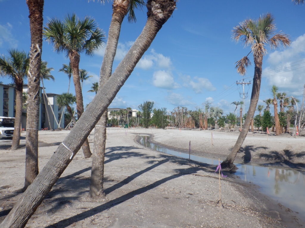
From rapidly growing communities to complex waterfront developments, Florida presents unique surveying challenges. Our team understands the state’s regulatory requirements, coastal environments, and development landscape, providing dependable survey solutions that help clients move projects forward with confidence.
Whether you’re acquiring property, designing infrastructure, preparing for construction, or documenting completed improvements, Haley Ward delivers accurate, timely, and defensible survey data tailored to your project’s needs.
Comprehensive Florida Surveying Services
Boundary & Topographic Surveys
Boundary and topographic surveys provide the foundation for successful development projects. Our team accurately establishes property boundaries while documenting elevations, utilities, easements, improvements, vegetation, drainage features, and other existing site conditions that influence planning and design.
Developers, municipalities, engineers, architects, and property owners rely on our boundary and topographic surveys to support land acquisition, permitting, site planning, and construction throughout Florida.
ALTA/NSPS Land Title Surveys
Commercial real estate transactions require accurate and reliable survey information. Haley Ward performs ALTA/NSPS Land Title Surveys in accordance with current industry standards, providing the detailed documentation required by lenders, attorneys, title companies, developers, and property owners.
Our surveys identify boundary lines, easements, rights-of-way, encroachments, improvements, and other features that may affect ownership or development.
Construction Survey Services
Accurate construction surveying keeps projects on schedule and built according to design. Our construction survey services include construction staking, site layout, control surveys, utility layout, grading stakeout, and ongoing field support throughout every phase of construction.
Working alongside contractors, engineers, and project teams, we help reduce delays, improve coordination, and provide precise positioning for successful project delivery.
As-Built Surveys
As-built surveys document the completed location of utilities, structures, pavement, grading, and other site improvements. These surveys provide accurate records for project closeout, future renovations, maintenance planning, and long-term asset management.
Our team delivers clear, reliable documentation that owners, municipalities, and engineers can depend on long after construction is complete.
Waterfront & Coastal Surveying
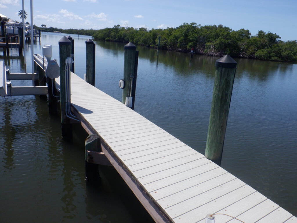
Florida’s extensive coastline and waterways require specialized surveying expertise. Haley Ward performs Mean High Water Line (MHWL) Surveys, Riparian Surveys, and Bathymetric Surveys to support waterfront development, shoreline stabilization, marina projects, docks, permitting, environmental studies, and coastal infrastructure improvements.
Our professionals understand the technical and regulatory complexities associated with waterfront properties and work closely with engineers, environmental consultants, permitting agencies, and property owners to provide accurate, defensible survey data.
Platting Services
Subdivision and platting are essential components of many land development projects. Haley Ward prepares subdivision plats that meet local, county, and state requirements while supporting efficient project approvals.
Our surveyors coordinate with developers, planners, engineers, attorneys, and reviewing agencies to create accurate plats that establish lots, easements, rights-of-way, and public dedications.
Terrestrial Laser Scanning & Drone Surveying
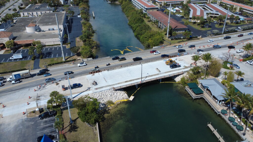
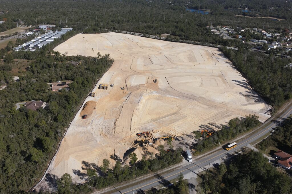
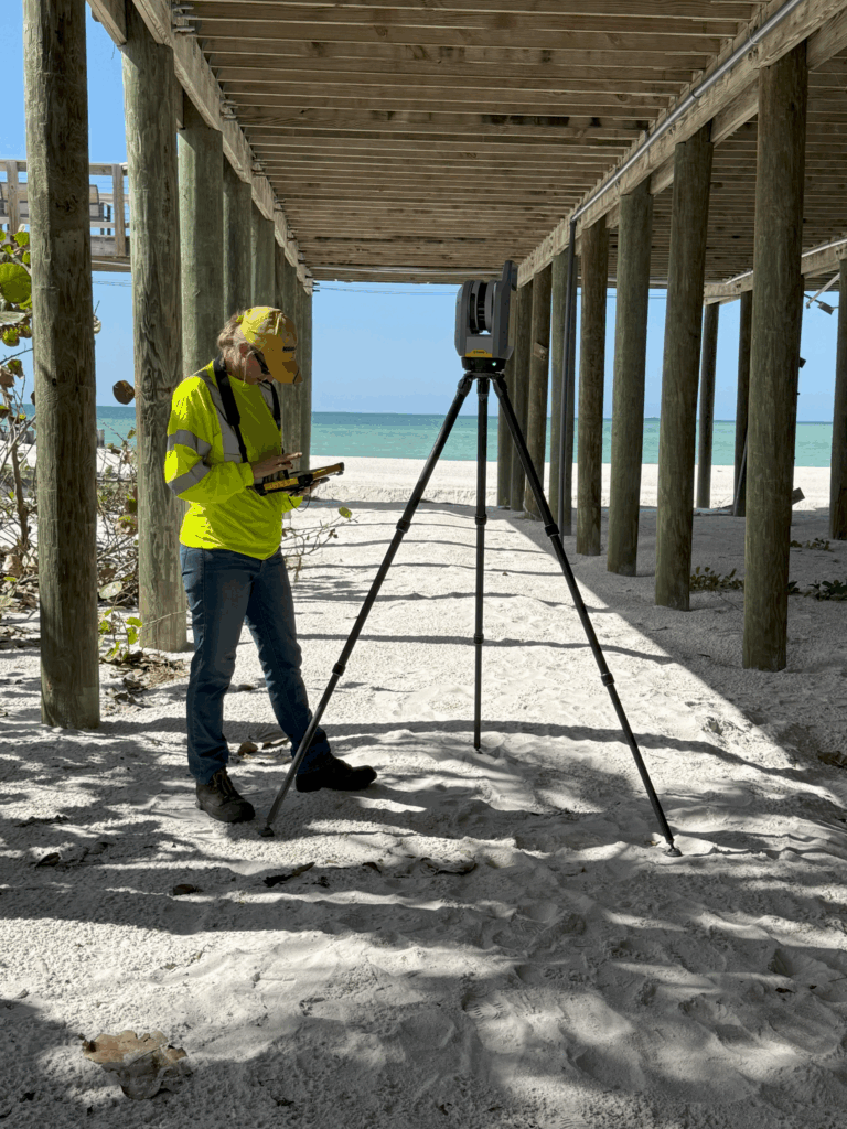
Technology allows us to collect more accurate information faster than ever before. Haley Ward utilizes terrestrial laser scanning and drone surveying to capture high-resolution three-dimensional data, aerial imagery, topographic information, and existing site conditions.
These advanced technologies improve project planning, reduce field time, enhance design accuracy, monitor construction progress, and provide detailed digital documentation for engineering, architecture, infrastructure, and asset management projects.
Why Choose Haley Ward for Florida Land Surveying?
Haley Ward combines local knowledge with advanced surveying technology to provide dependable solutions for projects across Florida. Our licensed surveyors work as an extension of your project team, collaborating with engineers, architects, planners, contractors, municipalities, developers, and public agencies to deliver accurate information when it’s needed most.
With expertise spanning land development, transportation, utilities, municipal infrastructure, commercial properties, and waterfront environments, we provide survey data that supports informed decisions from concept through construction.
Whether your project requires a boundary survey, ALTA survey, construction staking, bathymetric survey, laser scanning, drone mapping, or specialized waterfront surveying, Haley Ward has the experience and resources to help move your project forward.