Florida Department of Environmental Protection Surveys
Florida
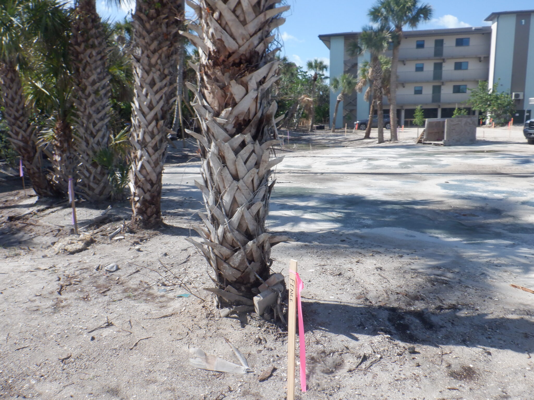
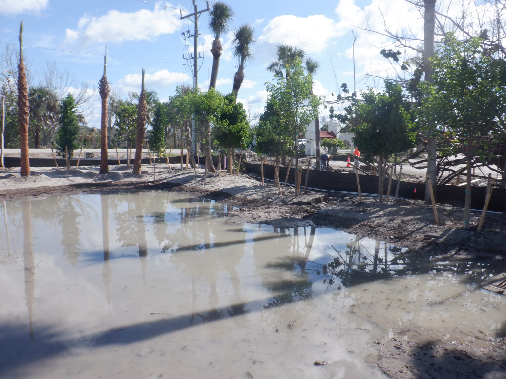
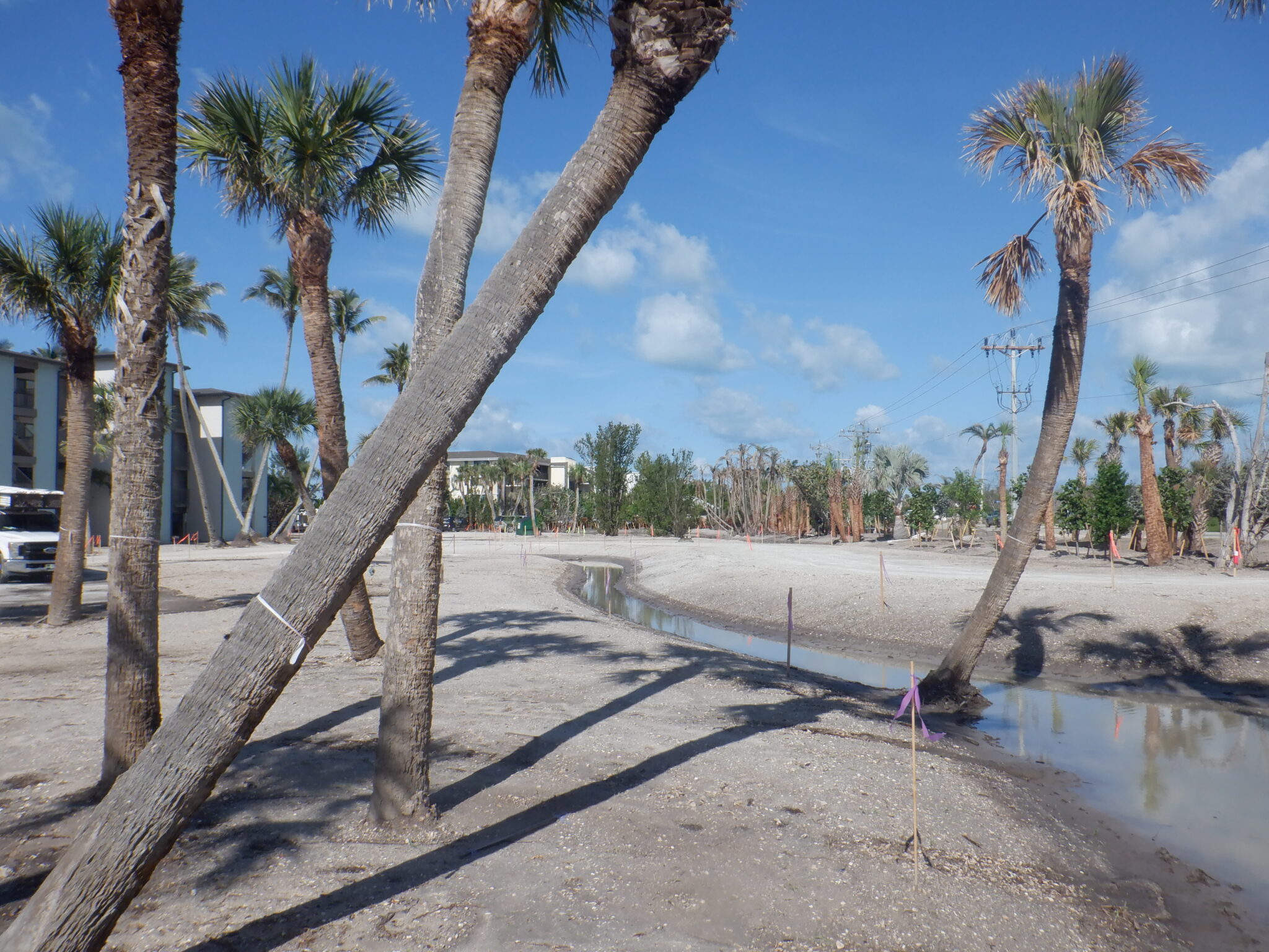
Project Scope
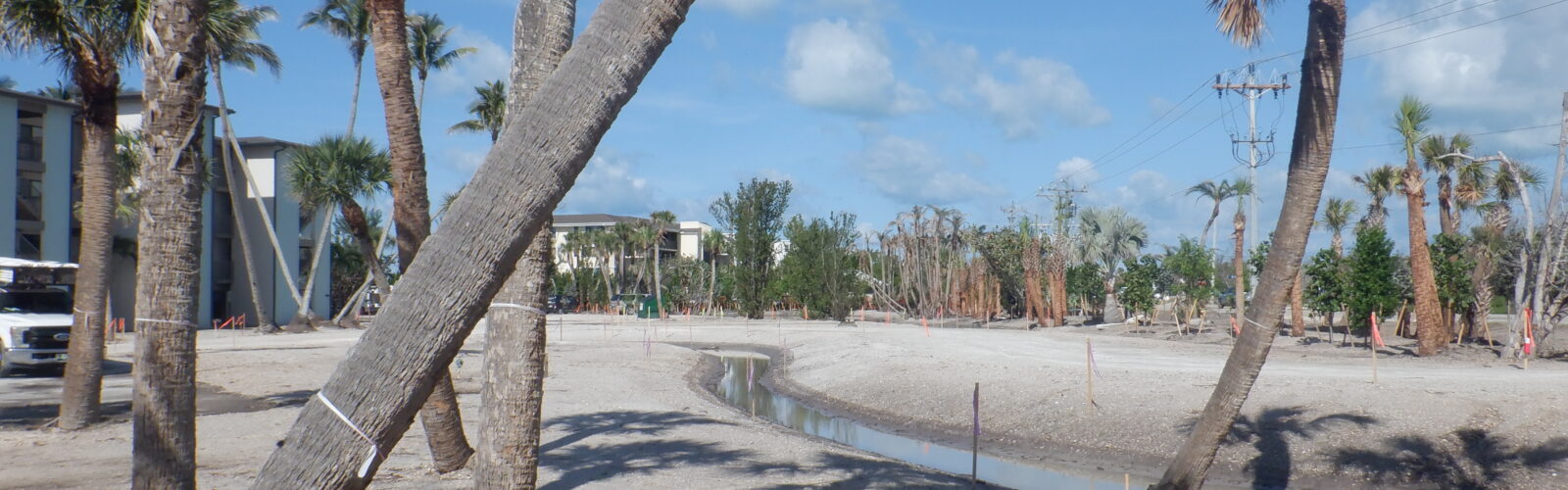
Florida’s coastline is among the state’s most highly regulated environments, requiring specialized surveying expertise for construction projects located seaward of the Coastal Construction Control Line (CCCL). These projects often require approvals from both local jurisdictions and the Florida Department of Environmental Protection (DEP), making accurate boundary determinations and historical research essential to successful project planning and permitting.
Haley Ward survey staff have decades of experience providing DEP surveying services for residential, commercial, and redevelopment projects throughout Southwest Florida, including Sanibel, Fort Myers Beach, and other coastal communities. Our surveyors understand the complex network of jurisdictional boundaries that govern coastal development, including the CCCL, Coastal Construction Setback Line (CCSL), Erosion Control Lines (ECL), Mean High Water Lines (MHWL), and other regulatory limits that influence where and how construction can occur.
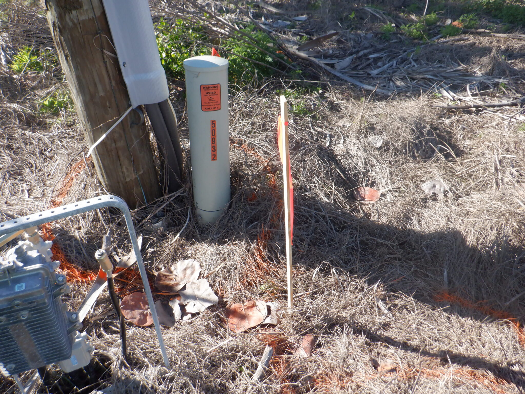
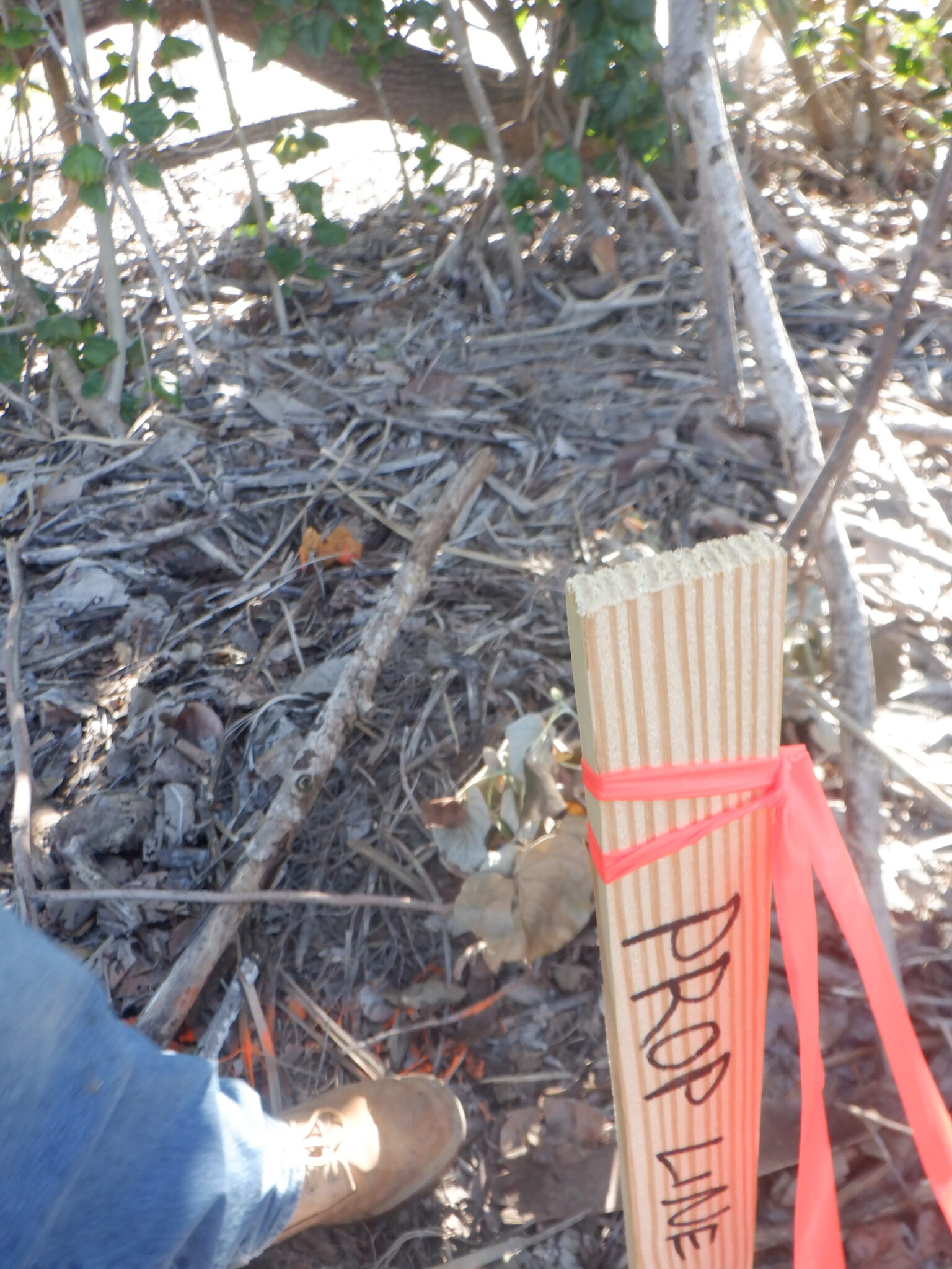
What sets Haley Ward apart is our depth of local knowledge and historical survey records. Through decades of coastal surveying experience and the legacy of predecessor firms, our team maintains access to historical survey data and monumentation that often cannot be replicated through publicly available mapping alone. This information allows us to accurately retrace regulatory lines, verify historical boundary evidence, and identify discrepancies that can affect permitting and construction decisions.
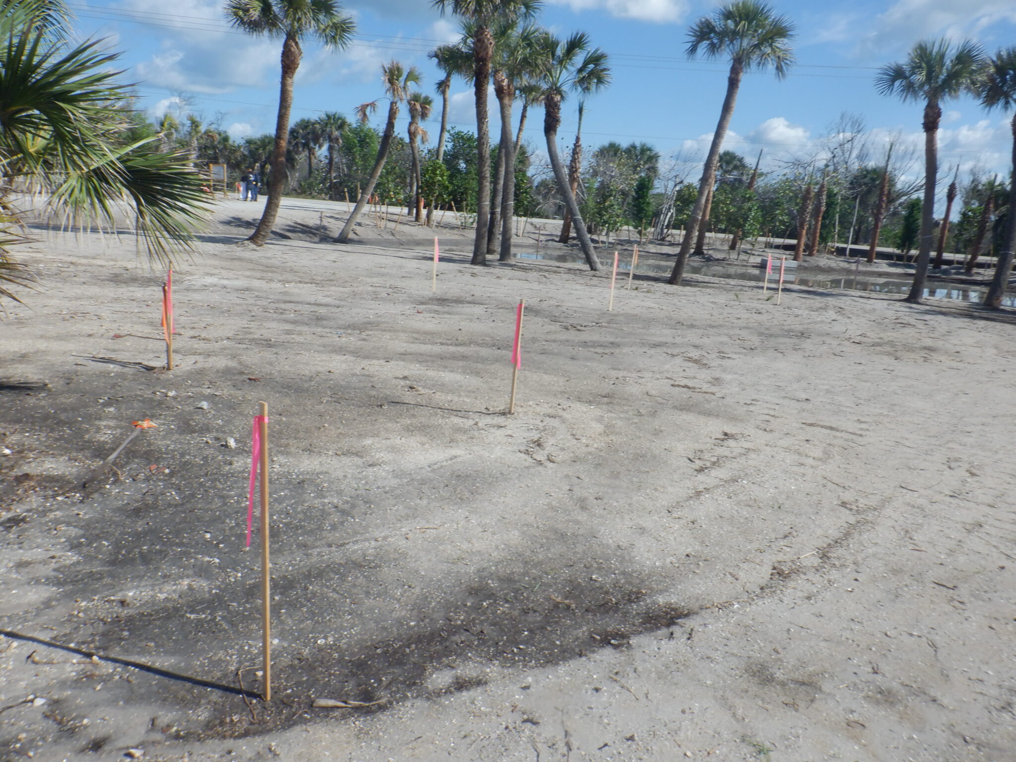
Following recent hurricanes, demand for DEP surveys has increased as coastal properties undergo reconstruction and redevelopment. Storm impacts often destroy survey monuments, alter beach conditions, and shift shoreline features, making experienced survey professionals critical to establishing reliable control and supporting regulatory compliance. By combining technical expertise, historical records, and a thorough understanding of Florida’s coastal regulations, Haley Ward continues to help property owners, developers, architects, and contractors successfully navigate the permitting and construction process along some of the state’s most environmentally sensitive shorelines.
Market
Services
- Florida DEP Surveys
- Coastal boundary surveys
- Coastal Construction Control Line (CCCL) determinations
- Erosion Control Line (ECL) research and mapping
- Mean High Water Line (MHWL) surveys
- Boundary and topographic surveys
- Construction staking
- As-built surveys
- Historical survey research
- Survey support for Florida DEP permitting
Project Data
| Coastal Boundary Surveys | Performed boundary and topographic surveys for residential, commercial, and redevelopment projects along Florida's coastline. |
| Regulatory Line Determinations | Completed Coastal Construction Control Line (CCCL), Erosion Control Line (ECL), and Mean High Water Line (MHWL) determinations to support coastal development. |
| Historical Survey Research | Researched historical survey records and monumentation to verify boundaries and regulatory lines. |
| DEP Permitting Support | Provided surveying and documentation to support Florida Department of Environmental Protection permitting requirements. |
| Construction Survey Services | Delivered construction staking and as-built surveys throughout project implementation. |