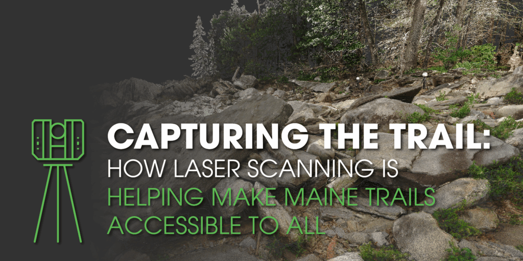
Capturing the Trail: How Laser Scanning is Helping Make Maine Trails Accessible to All
How Haley Ward’s BIM team is applying laser scanning beyond buildings, to make outdoor spaces more inclusive.
When most people think of laser scanning, they imagine buildings, bridges, or industrial facilities. But at Haley Ward, our BIM Division is taking this technology outdoors, using reality capture to help make Maine’s trails more accessible for everyone.
Recently, our team partnered with Coastal Rivers Conservation Trust on their Trails for All project, which focuses on creating trails that meet ADA accessibility standards. The work includes designing an accessible route and an ADA-compliant bridge that allows all visitors, including those using wheelchairs or mobility aids, to enjoy the same scenic views as everyone else.
Scanning Challenges in the Wild
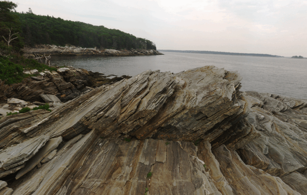
Unlike scanning a building or city block, scanning a natural trail comes with unique challenges. In developed areas, structures provide clear reference points for alignment, but in the woods there’s nothing but trees, rocks, and elevation changes, meaning every scan has to be carefully aligned without the benefit of traditional survey control points.
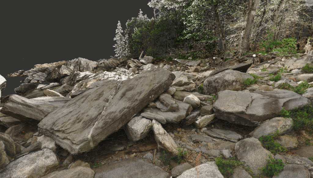
To create a seamless model, our technicians performed scan-to-scan alignment, finding natural markers like boulders to tie the data together. Overgrowth, mud, and unpredictable weather added to the complexity. In one area, our team set up the scanner for the ADA bridge site, only for the equipment to slowly sink into the mud, requiring multiple resets and re-scans.
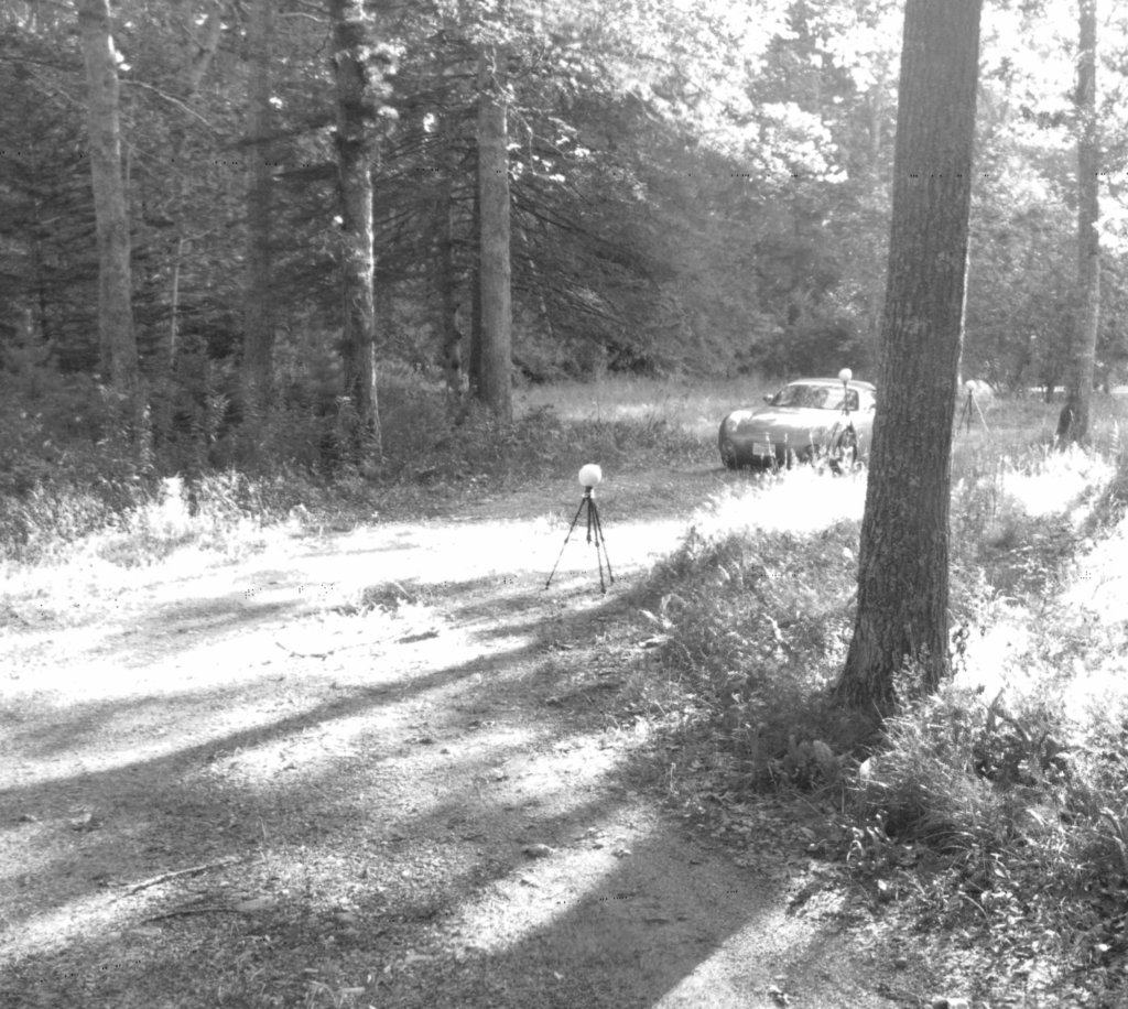
Environmental conditions played a huge role throughout the project. Our team worked across three separate scanning trips, one in the rain, one in the chill of early March, and another under full sun. Timing was critical: scans had to be completed before shadows grew too harsh in the afternoon, since strong contrast can interfere with how laser points capture surfaces.
Even wildlife and natural elements were part of the experience. Ticks, mud, and curious hikers (both kids and adults) were constant companions. Despite it all, the team captured precise 3D data that will guide the design of a new, ADA-accessible trail, reducing the grade from 8 degrees down to 3 degrees and incorporating a long, stable bridge that crosses a swampy section of the path.
Why Laser Scanning Matters
By combining dozens of individual scans into a single digital model, our BIM team provided designers with highly accurate data to shape the new trail alignment. This laser scanning process helps engineers and planners visualize real-world conditions, tree lines, slopes, and terrain, so that accessibility upgrades blend naturally with the landscape.
In the end, this project reflects what Haley Ward does best: using innovation and collaboration to make communities more inclusive and sustainable. From historic structures to Maine’s coastal trails, laser scanning continues to expand what’s possible in design and planning, helping more people experience and enjoy the natural beauty of Maine.