Eventide at Badgers Island
Kittery, Maine
Project Scope
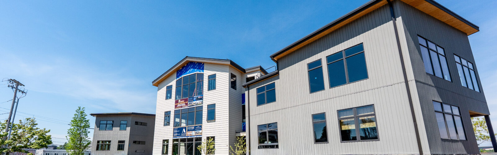
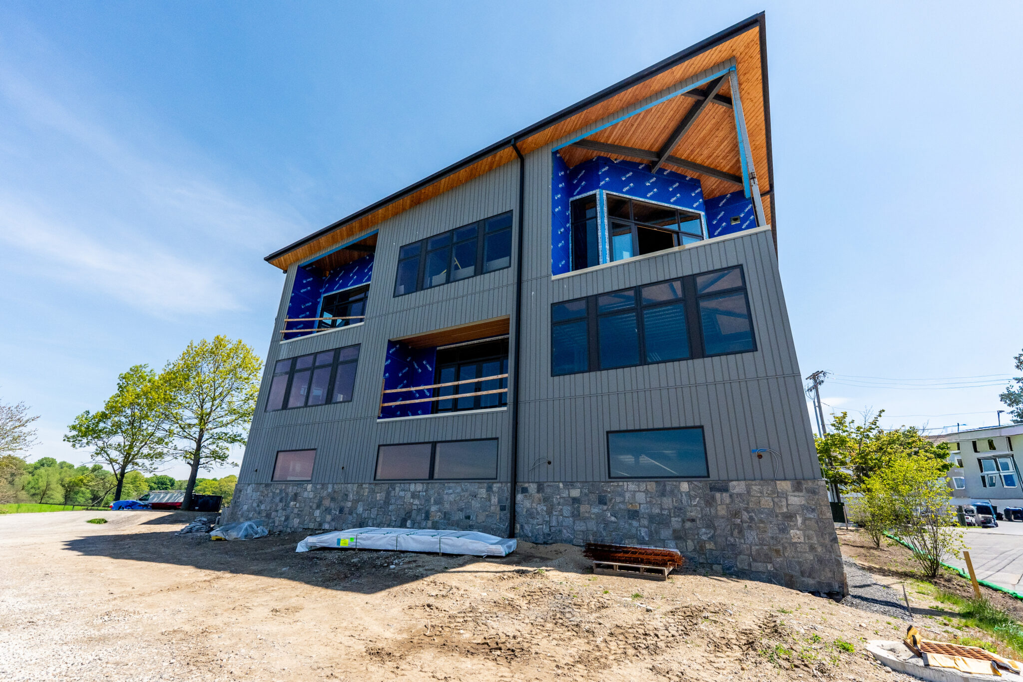
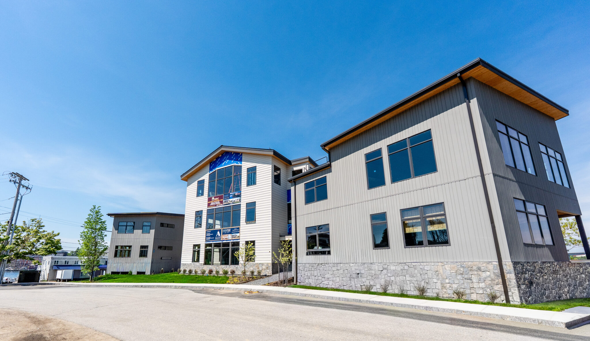
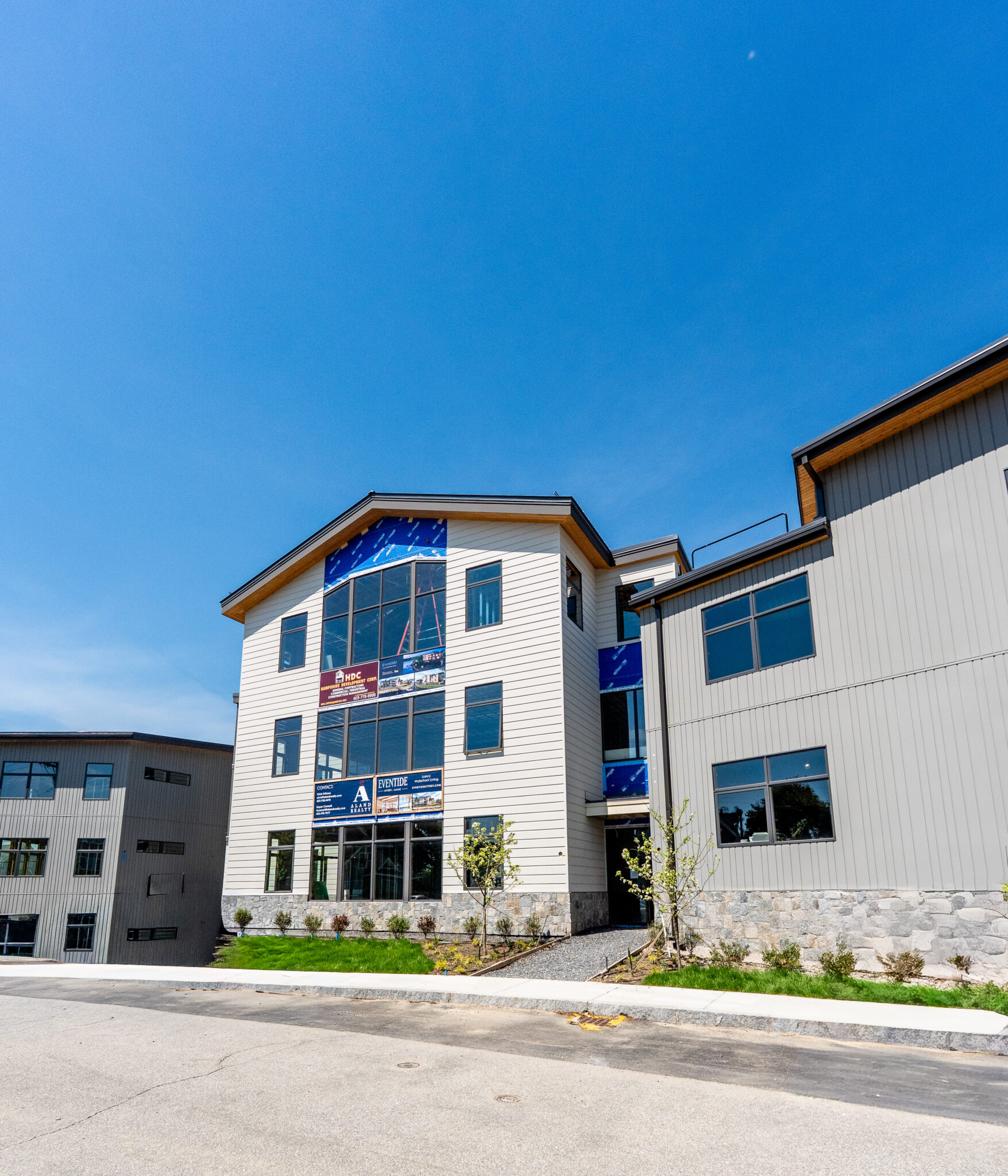
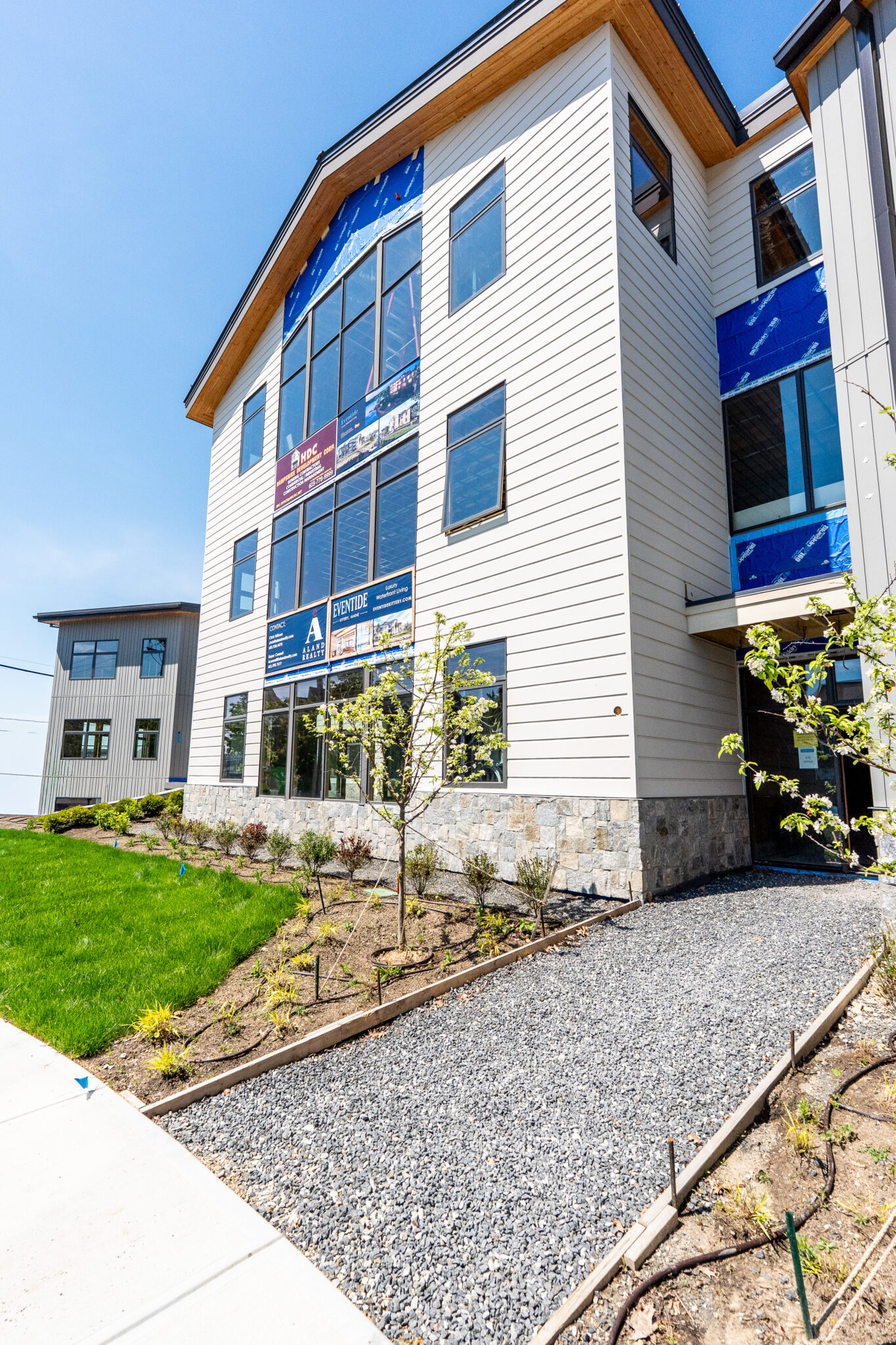
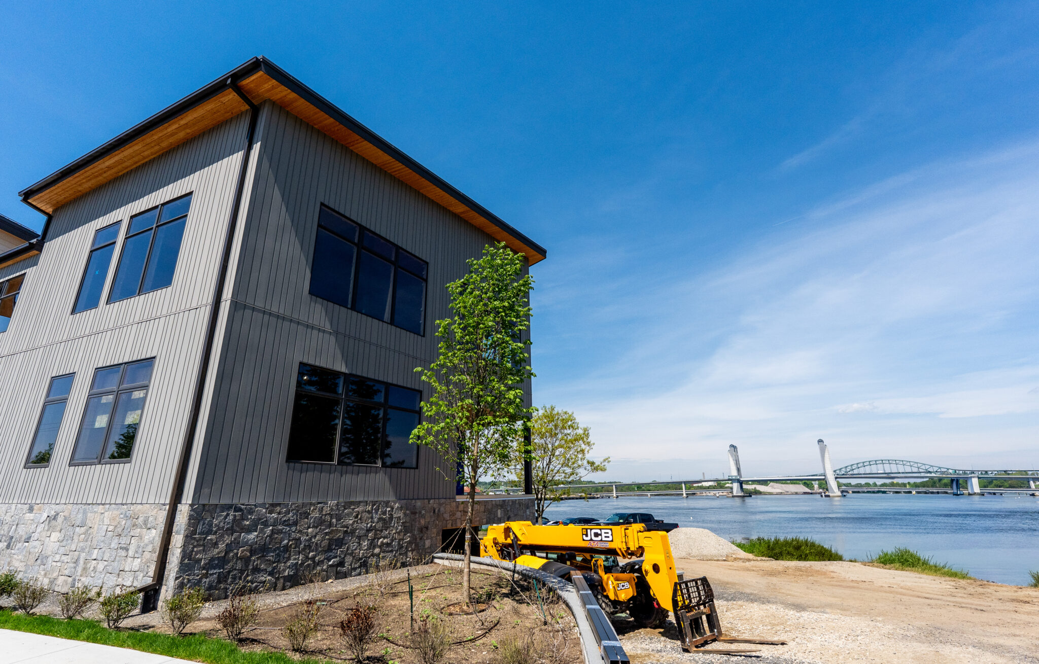
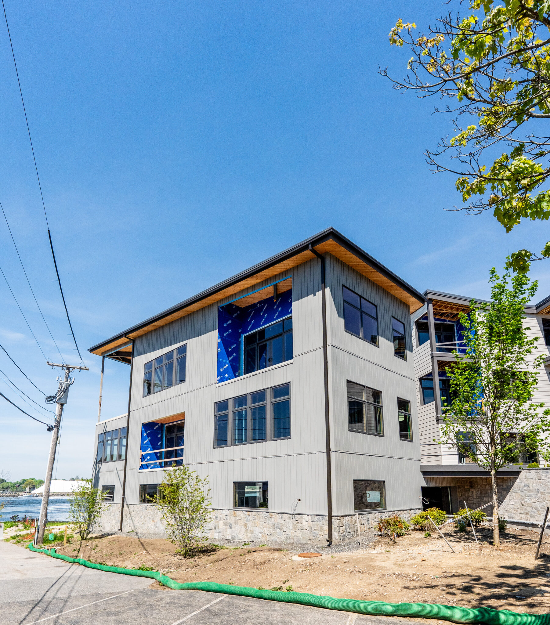
Set along the waterfront in Kittery, Maine, Eventide at Badgers Island is a premier 10-unit residential redevelopment that transforms a prominent coastal site into a vibrant modern waterfront community. Designed to capture sweeping views of the Piscataqua River, the project balances exceptional placemaking with the complexities of shoreland zoning, environmental constraints, and local permitting requirements.
Haley Ward provided comprehensive surveying, site planning, engineering, and permitting services to support the redevelopment from concept through design. Our team completed boundary and topographic surveys, wetland delineation, and detailed site planning to document existing conditions and shape the project vision. We also developed complete site engineering plans for grading, drainage, utilities, erosion control, lighting, and landscaping, along with the technical calculations and supporting documentation needed to move the project forward. To meet Kittery’s waterfront buffer and shoreland setback requirements, the design included an alternate street drainage system crossing the property, while strategic grading made underground parking possible and enhanced the overall value of the redevelopment.
Following site plan approval, Haley Ward continued to lead the permitting effort by coordinating closely with local agencies and the Kittery Planning Department, preparing and submitting the Shoreland Development Application, and guiding the project through multiple Planning Board meetings. We also worked with the client to secure the permits for a six-slip dock as a project amenity and supported the conversion of the development to condominium ownership. This integrated approach helped identify constraints early, streamline approvals, and position the project for efficient advancement from entitlement through implementation.
Market
Services
- Boundary & Topographic Survey
- Wetland and HAT Delineation
- Site Development Plans
- Grading & Erosion Control Design
- Utility Design
- Drainage Analysis
- Landscaping & Lighting Plans
- Site Plan Development
- Shoreland Development Permitting
- Land Use Permitting
- Construction Phase Services
- Construction Layout
- As-Built Survey
- Condominium Site Plans
Project Data
| Boundary, Topographic & Wetland Surveying | Completed boundary, topographic, and wetland delineation surveys to support planning and design. |
| Civil Site Design | Developed site plans, grading, drainage, utilities, erosion control, landscaping, and lighting plans for the waterfront redevelopment. |
| Shoreland & Land Use Permitting | Led the permitting process, including shoreland development approvals and coordination with local regulatory agencies. |
| Construction Support | Provided construction-phase services, including layout, as-built surveys, and technical support during implementation. |
| Condominium Site Planning | Prepared condominium site plans and supported the project's transition to condominium ownership. |